Projects and initiatives Ngā kaupapa
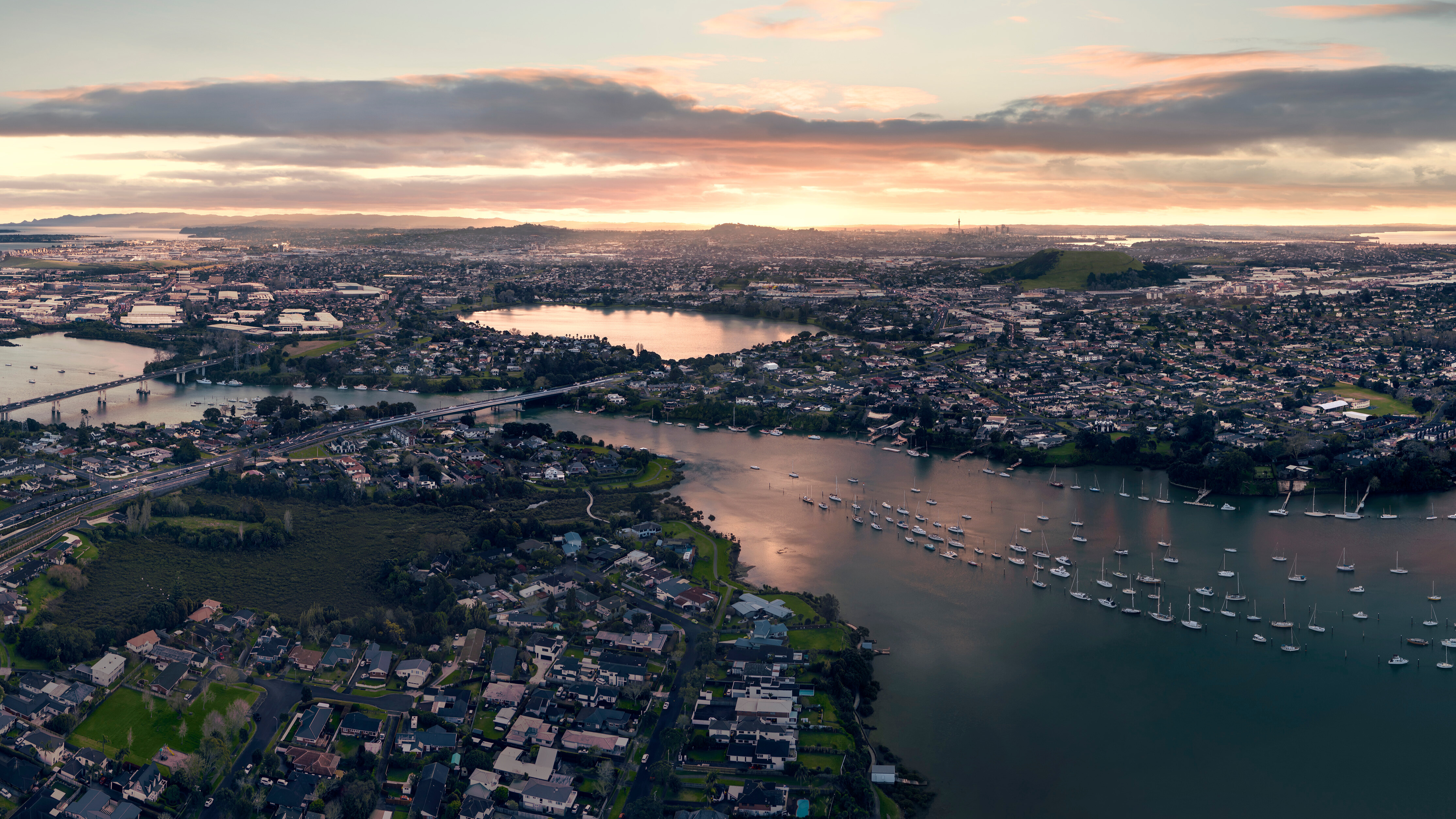
Our projects provide better transport options and a more resilient future for Auckland. However you travel, we're making things better for you.
On this page
Long-term projects and strategies
City Rail Link
Discover a more connected Auckland with the City Rail Link. It's opening in 2026 to deliver faster journeys, more trains, and new world-class stations.

City centre projects
There's lots happening to improve the city centre. Our projects are part of the City Centre Masterplan.
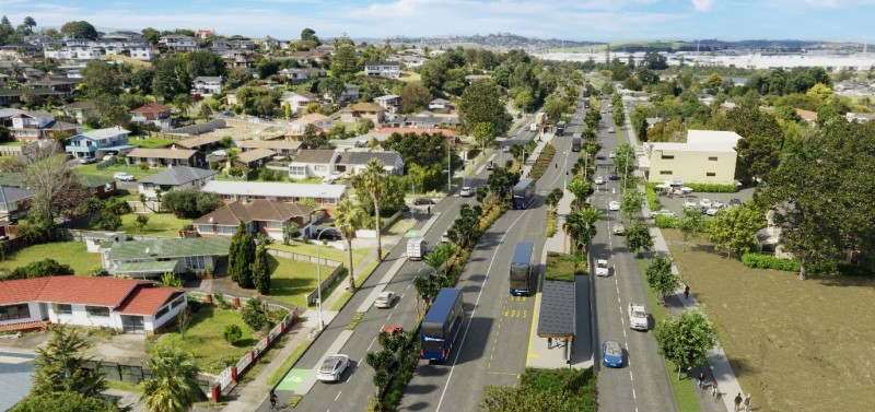
Eastern busway
The Eastern Busway is a fast, reliable and safe busway connecting Botany to Pakūranga and to the rail service in Panmure.
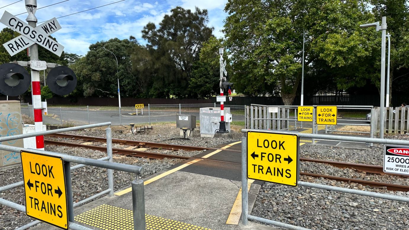
Level crossing removal programme
We're working with KiwiRail and NZ Transport Agency to remove and replace level crossings across Tamaki Makaurau.
Have your say
View all current consultations across Auckland and have your say on the future of your city.
All projects by area
Showing
No results found.
Try removing your filter, using a different search term, or checking your search for typos.

